Imageotag


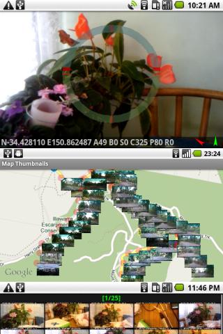
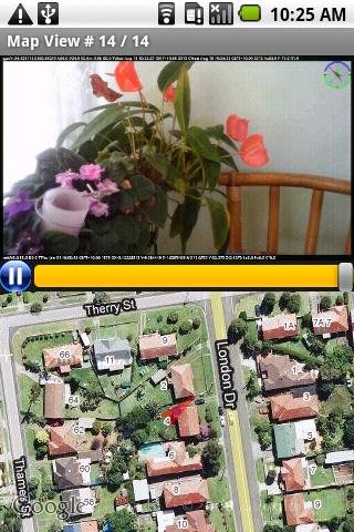
Imageotag is a precision field camera app for Android V1.5+ devices.
Imageotag snaps 16:9 geo-tagged images, embedding GPS & NET location, accelerometer, bearing, compass, date, light lux, magnetic field, pitch, proximity, roll, speed, temperature & time data.
Imageotag creates Google Earth Tours from GPS image sequences.
App Specification
- App Name: Imageotag
- Rating: 3.65
- Apk: com.imageotag
- Cost: Free
- Developer: http://www.imageotag.com